|
||
|
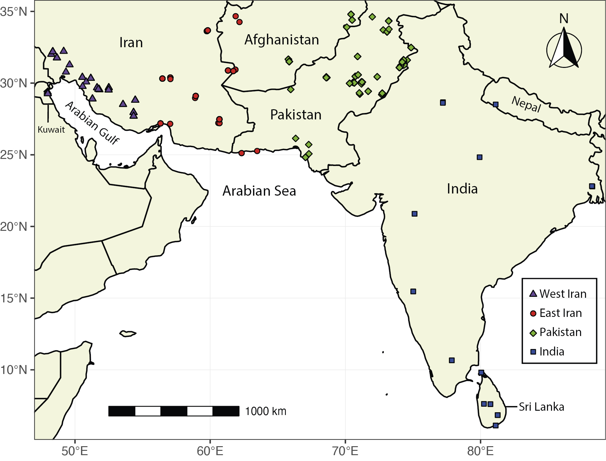
Map of specimen sampling localities. Sampling localities are divided into four geographic groups based on their proximity (see legend). The Y and X axis are the latitude and longitude, respectively. A geographic WGS84 projection is used. For more details, see the “Materials and methods” and Appendix 1. The full range of the species according to the International Union for Conservation of Nature (IUCN) Red List (Kryštufek et al. 2017) appears in Fig. S1. |